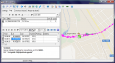
Gps Track

DXsoft TrackLog v.1.20
GPS log-maker. Software create *.plt track file, *.rte route file and, optionally, NMEA-log file.
Trackr! Smartphone v.1.0.4
To send the data about your current position and the track you followed to the trackr! website, you need a small application on your mobile phone.
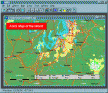
Hydromagic v.4.1.12.315
Eye4Software Hydromagic is a hydrographic survey program tool, which can be used to map areas using a GPS and echosounder. Use the program to import, view and edit your maps, display your position and to record depths.
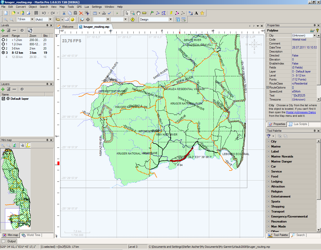
Martis Lite v.1.3.1.115
The Martis application was designed to be is a software program that lets you create and edit GPS vector maps visually with the focus on Garmin devices and maps.
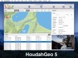
HoudahGeo v.5.2.2
HoudahGeo is a photo geocoding and geotagging tool. Use HoudahGeo to attach GPS coordinates and location names to your photos. HoudahGeo writes EXIF and XMP geotags to JPEG and RAW image files. Just like a GPS-enabled camera.
AGIS for Windows v.2002
AGIS for Windows is a mapping and simple GIS shareware package. Plot your own geographic data on the map of the world provided without the high cost and steep learning curve usually associated with this kind of software.
GeoTagging Automator Action v.1.0.2
GeoTagging Automator Action is an Automator Action to automatically add geographical information from a gps tracklog to your images.
Photos Workbench v.1.0
Companion to Apple Photos for Mac. Photos Workbench works with Apple Photos to help you organize, name, and compare your photos.
OnAround Immageo v.3. 8. 2003
Immageo is all about making your photos as memorable as when you took them, by geotagging each photo. Immageo is a truly exciting example of what you can and should do with your photo collections.
Earth Explorer v.6 1
Earth Explorer is a useful application very similar to Goggle Earth that allows you explore the whole world. It provides satellite, topographic, and blend views of any part of the world.